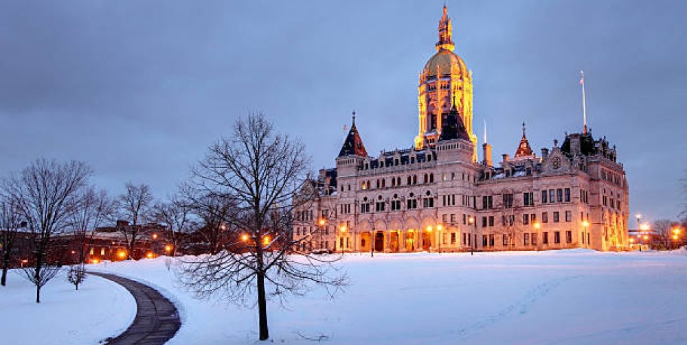
With new data coming in daily it appears that this stretch of very cold conditions may last for another two weeks which will bring us to the end of the month and may smash all records as being the coldest February ever. As of today we are averaging some 9 degrees below normal for the month. Very intense arctic outbreaks are plunging directly at us from the polar region instead of descending into the upper Midwestern states and making that left turn towards us where the cold air has a chance to moderate. We may feel the core of the cold by the end of this week when temperatures will be 5-15 below zero in the morning and a high struggling to get to 10 degrees. A deep snowpack will enhance the bite of the cold considerably. But keep in mind, these chilling bubbles of dense air masses will soon retreat north as the sun angle gets higher in the sky. Here’ s a warming thought…. Daylight Savings Time begins four weeks from today!
Click on Central Connecticut Live Weather to the right for Real Time local conditions.
Monthly Archives: February 2015
Snow storms non-stop ticket to New England
The conveyer belt just keeps rolling along delivering on cue winter storms every three days. We know that there is a life span for these storms and will eventually give out as the sun migrates higher in the sky each day sending a message to the arctic air masses to finally retreat. After yesterday’s twelve inch snow blitz, another Alberta Clipper will travel southeastward from Canada early Thursday and cover our landscape with another one to four inches of snow. And yet another system will pull out the Rockies and take up shop off the east coast by late weekend. Computers models are now starting to agree on where and when this newest storm will blossom into Nor’easter on Sunday. Nor’easter + Arctic air mass = significant snowfall for New England. Winter is surely making up for lost time in a hurry this winter.
Click on Central Connecticut Live Weather to the right for Real Time local conditions.

