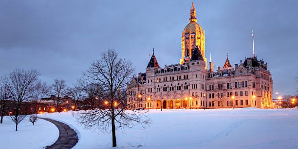
As the sun moves higher in the sky and towards spring the atmosphere gets much more turbulent as mixing of cold and warm air becomes more apparent. Last weeks 70’s becomes this past weekends single digits with destructive wind gusts over 50 mph and wind chills in the minus teens. As we transition into the week there will be a few days in 50’s and 60’s but it will come to an abrupt end as snow will be in the forecast for Friday, Sunday and possibly next Tuesday. Any St Patricks Day Parades may be in jeopardy this weekend. Mother Nature is making up for near record warmth this past January and February. Remember February had a couple of days in the 70’s and there was a violent tornado near Greenfield, Massachusetts. First ever recored tornado for February.
Keep the warm apparel and shovels nearby for the next week or so.
Remember to turn your clocks ahead one hour this Saturday night as daylight savings time officially begins giving all more evening sunlight. Finally.
Hyper-Local Weather Tracking
by Charles Miano
New Britain, Connecticut

