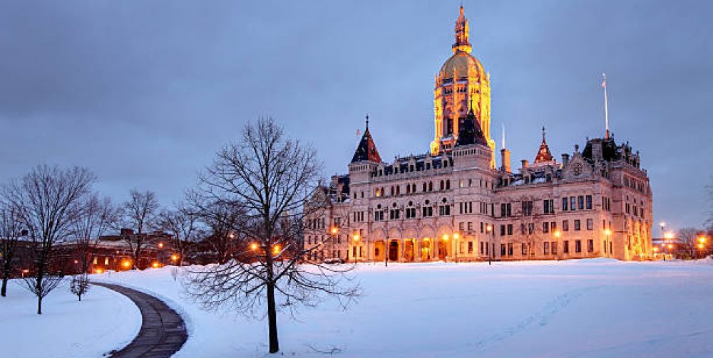
As we come off a cold and dry weekend, you may have noticed that the sun was obscured by clouds all day making today’s actual high of 29 feel colder. The clouds will tend to thicken overnight with a wintry mix of snow and sleet breaking out over the area for the Monday morning commute (deja vu this past Friday am commute) which will quickly change to freezing rain. The ground and surfaces are very cold so some icing conditions will be an issue. The freezing rain may have trouble turning to all rain in many Connecticut valleys as the cold, dense air will be difficult to displace by warmer air above trying to move in from the southwest. Rain and ice will change back to snow briefly Monday evening as cold spills back in. The rest of the week will be dry and colder than normal.
Click on Central Connecticut Live Weather for Real Time conditions.
Author Archives: Charles Miano
Rattle, shake and hum
The quiet corner of Connecticut was greeted by a unfrequented visitor this morning at 9:30. An earthquake was not in the forecast this today. The Weston Observatory at Boston College, part of the New England Seismic Network confirmed that an earthquake occurred in Plainfield with a magnitude of 2.3. Connecticut’s first earthquake for 2015, there were six recorded in 2014. The largest ever to hit Connecticut was in 1971 at East Haddam observed by early settlers that caused widespread damage and even a fissure.
Click on Central Connecticut Live Weather for Real Time conditions.
Did you get that new snowblower?
There were many reports of a snow blitz for the northeast this season. Even the Old Farmers Almanac predicted snowfall to be much above normal, especially for southern New England. It hasn’t happened yet and doesn’t look too promising at all for the next few weeks. The only shovelable snow occurred on Thanksgiving and this past Saturday which became a crusty, soggy pile of slush by Sunday. Keep the fuel stabilizer in the tank because there’s no significant accumulating snow in the foreseeable future. I understand many are itching to cut that first pathway down the driveway and walkway with their new snowblower. For now, just cold and dry conditions with some snow showers to cover the ground sparsely for the next week or so, then a January warmup!
Click on Central Connecticut Live Weather for Real Time conditions.
The coldest of the cold
After our wintertime snow to ice to rain event passes through today, there will be a brief lull in the our weather before an Alberta Clipper descends down from central Canada and moves south of us off shore on Tuesday with a brief period of snow to whiten the ground some. This active Clipper will usher in the coldest weather of this winter season. Wednesday and Thursday mornings will touch zero and maximum temperatures struggling to get to the middle teens Wednesday and Thursday. To add insult to this cold outbreak a brisk northwest wind at 15-25 MPH making it feel well below zero at times.
Any snowstorms on the horizon? My next post will have a January snowcast.
Click on Central Connecticut Live Weather for Real Time conditions.
Fair weather stretch run to New Years Day
Travel plans the next week in New England? Except for a few showers this Sunday and flurries up north as a modified cold front passes through the area, the weather will be ideal. Partly to mostly skies with highs in the 30’s and low 40’s and lows in 20’s. Not to worry about snowstorms to at least the end of the first week of January. So how’s does the weather look for the rest of the winter? Variable conditions with periods of cold then warm ups with below normal snowfall for now. El Niño will have a say too. Stay tuned.
Click on Central Connecticut Live Weather for Real Time conditions.

