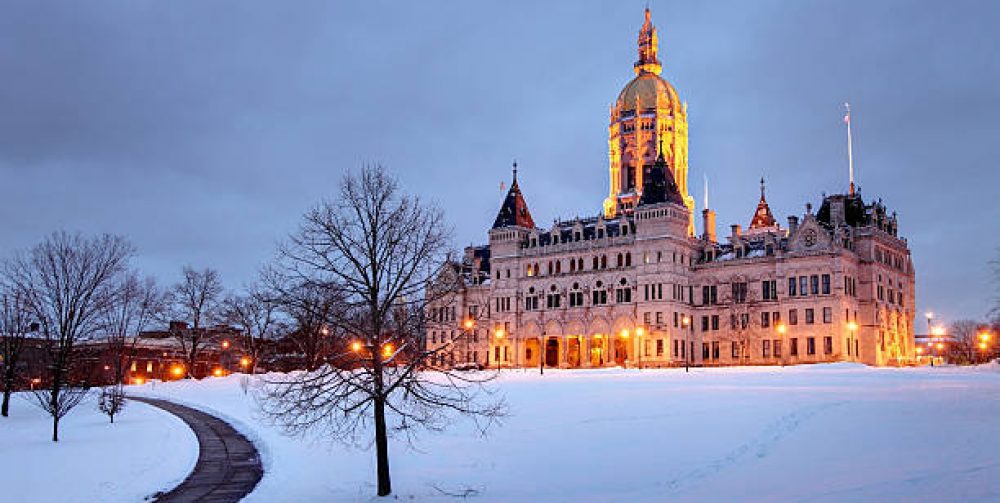
That surely would be a welcoming sound today as we endure another wintry day. Old Man Winter is doing his best in delivering a smorgasbord of winter elements. Snow to sleet to freezing rain from a sky that resembles a pallet of natural grays from Benjamin Moore. Also the air encompassing us has a penetrating chill to our core that is not easy to take even with a cup of hot tea. After checking and rechecking models going out to April has us in this same pattern of mixed precipitation followed by a few days of cold and then a warming trend for a couple days. This merry-go-round of changeable weather will likely not have the right ingredients for a full fledge Nor’Easter as approaching storms will have too much warm air on its eastern flank to produce an all snow event. No big warm ups, no sustained cold or arctic outbreaks but lots of precipitation and raw conditions.
Major League Baseballs opening day in 50 days may have several postponements as the northern states may have a difficult time in warming up a starting pitcher.
Category Archives: News
A Ghostly Presence Amongst Us
The Hartford Courant on January 8th, published a wonderful column by Gregory B Hladky about the Snowy Owl migration to Connecticut. Make no mistake about it when you see one you will know it by their haunting presence. The increase sitings are cyclical and are likely caused by successful breeding seasons in the Arctic. Many of the ones we see here are young raptors that have been chased out off traditional hunting grounds by adults and flown south to find open areas to hunt in peace according to researchers. These long distance travelers trek more than a thousand miles from northern Canada and wihin the Arctic Circle. Recent sitings has been mostly confined to our shoreline marshes, but there have been several sitings in central and northern Connecticut.
It’s worth emphasizing that there are “The Basics Rules” that the majestic, aloof and distinctive Snowy Owls observers are expected to follow (from Project SnowStorm):
Keep your distance
Respect private property
Don’t feed an owl, ever
“BLIZZ-a-CANE”
Word is out that the snow blitz will run over us before the sun rises tomorrow. This area of low pressure will have a frightening look to it on a weatherman’s plotting computer screen. Barometric pressure will bottom out at 950 millibars which equates to 28.05 inches mercury, lower than super storm Sandy in 2012. The positive aspect of this storm is the lowest pressure area will track further off the coast than Sandy. If you have a well calibrated home barometer take look at how low your reading is early afternoon tomorrow when the storm is at its closest. Latest reliable computer models has the storm wobbling slightly more west closer to our coastline. So, wind blown snow will virtually be impossible to measure because of its fluff value and 30-40 mile per hour winds with gusts over 50. As snow bands set up there will varying intensities of snow, but will lighten up by afternoon as the storm pulls away to our northeast. This storm has the characteristics of hurricane without the warm inner core, but its tight wind gradient will create hurricane force winds near the Cape and Islands.
Yes, we may call it a BLIZZ-a-CANE.
Blizzard or Just Cold
To add insult to this bitter cold snap, a major east coast storm will be tracking up the eastern seaboard Thursday with severe wind and heavy snow. Right now Scenario #2 has the storm moving out to sea to our east with little or no impact for us, maybe just wind. Scenario #1 has the storm hugging the east coast with blizzard conditions for New England. Or scenario #3 would be a deepening low straddling between the two tracks shown with a few inches of wind driven snow for several hours. It’s too early to predict which track this potent storm will take but it should be monitored very carefully. No matter what track the storm takes another blast of sustained bitter cold will move back in after the storm passes us with gusty northwest winds that will dive wind chills to frightening lows. Stay tuned.
Desolate and Cold
Another winter hike this morning brought me to a barren quarry on the New Britain/Plainville line as I headed for Pinnacle Mountain and The Metacomet Trail. As I approached this abandoned crater looking like a true moonscape the cold penetrated deeply with a feeling of isolation with my feet planted in the snow looking for any signs of life nearby. Only tracks from coyotes and bob cats were in stride with my human footprints. I’m sure they were checking me from a safe haven.
This current cold snap will continue for another ten days rivaling the one we had in December 1989 when the temperature averaged 10 degrees below normal for the month. Actually there was a 20 day period of below freezing temperatures from December 11th-31st. The following January was almost 10 degrees above normal. Mother Nature always has a way to balance things out.

