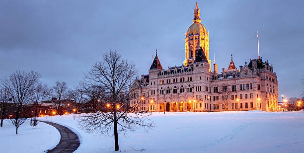
After looking at new prognostics using a combination of European and American atmospheric models the rest of January will average some 5 degrees or more above average with very little if any snow in the forecast. However there will be a few opportunities of rain tomorrow night and Wednesday morning, Saturday and a significant rain storm early next week followed by mild temperatures. The jury is still out for February, but there will be a reconfiguration of the jet stream in a position that favors snow and colder temperatures. Last year we were in a major El Nino pattern allowing warm moist Pacific air to move transcontinental over the entire nation highlighting a much warmer than normal winter. El Nino is gone now which is evident as strong storms move down from the Gulf of Alaska pummeling the west coast with snow and heavy rains. It may be our turn as we turn the page to a new month in a couple of weeks.
Category Archives: News
10 More Weeks of Winter
Ground Hogs Day is still 3 1/2 weeks away which means there’s still another 10 weeks of winter. So, how will the rest of the winter unfold for us? What I see are wild fluctuations between very cold and very mild conditions for the next few weeks. As we have seen already when we get snow it quickly warms up as the jet stream retreats back to our northwest and it will happen again this week. After the 5 or 6 inches of snow Saturday and the persistent cold and wind the storm track will lift allowing warmth and showers for the rest of the week. The main storm track is now over the western half of the nation giving the Rockies feet of snow and flooding rains to the Pacific coast where they really need it. It will be a matter of time when the configuration of the air masses will flip giving us our due share of winter. There WILL be peaks and valleys going forward with cold and snow to thawing and rain. Stay tuned.
Play Ball! Not Quite.
The crack of the bat. The sound of the crowd cheering. The booming voice of the umpire “You’re out”. The smell of hot dogs, popcorn and beer. Excited children scrambling for foul balls. The home opener for the New Britain Bees is 102 days away which feels unattainable right now. Frigid temperatures and yesterdays snow event has created a long dark cold shadow, but as each new day unfolds the sun angle gets higher and creates hope for a new season. We still need to get through the coldest core of winter the next four weeks but by then spring will hopefully be in sight. This week will start off bitterly cold with temperatures near zero tomorrow morning but how about the 50’s by Friday. Can you say January thaw?
(Picture above was from a New Britain Bees game last September). Can you feel it?
A Little Help From Our Friends
After today’s surprise Nor’Easter there was a lot of fluff value with our snowfall. Very dry and cold conditions squeezed out a lot of moisture from the frozen hexagon crystal. The rule of thumb is that for very 10-12 inches of snow equals about 1 inch of water content. Today’s 6 inch snowfall would normally be about 1/2 inch of rain but with low dew points, humidity and temperatures we had only about 3/10th of inch of liquid. This very dry fluffy snow will make shoveling unusually easily.
Our friends Luna and Isobar will have no trouble clearing out your driveway, and may save your newspaper from the snowblower too.
First Sunset of 2017
At 4:31pm the sun gracefully dipped behind the hills in western New Britain, Plainville and Southington. A peaceful and tranquil sight as our great orb said goodnight on the first day of 2017. Hopefully this will be a positive sign that our new year is getting off to a good start. We have already gained 12 minutes of true sunlight in the afternoon as the days stretch out further heading toward the summer months. The days continue to get longer now, but the temperatures will continue to get colder through the end of January, then a slow migration as we enter February.