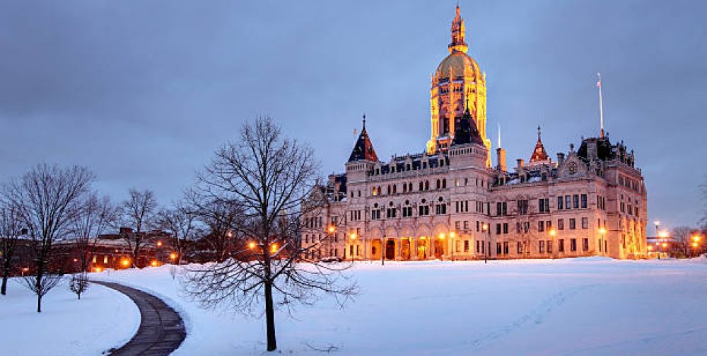
A Little Snow. Be Careful Driving Tonight

A fast moving Alberta Clipper will be moving through Northern England late this evening with a chance of a few hours a snow. The heaviest snow will be across central and northern New England with southern New England getting a just a light covering. Rain will be along the coast. So be careful driving when out and about this evening.
Happy New Year to All!

The Party is Temporarily Over

After experiencing several days with temperature in the 50’s and 60’s reality will finally shake things up here in New England. Northern New England has had little or no natural snow to date and Southern New England had one skirmish last week that affected mostly southern areas of Connecticut. New computer models are coming to an agreement that wintertime will finally fill back in here next week with a coastal storm that may bring significant snow followed by a shot of the coldest air of the season.                                 My snowblower is in for repairs right now, go figure.


What’s up with the warm winter

(WxToons by CMiano) After coming off the warmest December to date, January follows up with temperatures 4.5 degrees above normal. Officially Connecticut has had only 3.5 inches of recorded snowfall to date (At Bradley International Airport). The average to date should be close to 30 inches. So what’s the culprit for such a mild, snowless winter? Greenhouse gases surrounded the globe? Or just climate cycles we encounter every several years. I would say it’s a combination of both. 2015 has been the warmest year ever recorded on the earth as the industrial countries continue release carbon gases into our atmosphere creating a greenhouse effect causing warming conditions in all corners of the globe. Also locally in the states a very strong El Nino wave arrived from the Pacific Ocean not allowing the traditional arctic cold fronts from sinking down from Canada and above. But there’s still time that we may get a decent snowstorm or two. Stay tuned.