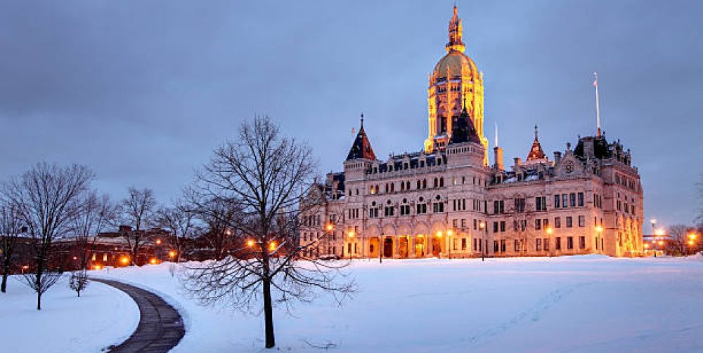
Merry Christmas! Waking up this morning to a rumble of thunder, heavy rain reminded me that the Holiday season was very confused. It felt like Easter more than Christmas and why not with a temperature of 57 degrees, more in line with a normal low temperature for June 13th not December 25th. Well…. Reality will check in as the skies clear out and the wind picks up making the outdoors feel more like wintertime but still above normal for the last week of 2015. As the clouds are pushed aside the sun will remain a constant through New Years. Any storms will stay away, but temperatures gradually fall with lows in the teens and highs in the low 30’s next week.
For Live Real Time Weather Conditions Click On Live Central CT Weather
White Christmas just a dream
As of of today there’s only 17% of the United States with snow cover which is an 8 year low for this date. The storm track has had very little cold air support to generate snow this December. So, “Old Farmers Almanac” you’re wrong with your prediction for a thick layer of white covering our landscapes about now. Central and northern Connecticut on average has a 57% chance of a white Christmas, unfortunately not this year. We will have 2 chances in the next week but the weekend event will pass to our south Sunday brushing us with some light precipitation and about Christmas Eve a stronger storm will track to our west with Connecticut in the warmer sector dragging in ocean air producing rain and a gusty southeasterly wind. As we nod off the next several nights your white Christmas will likely be a just a dream.
For Live Real Time Weather Conditions Click On Live Central CT Weather
Calm before the storm
Word is out that a costal storm will tracking in our direction early this week. Snow or Rain? As of Sunday evening it looks to be all rain with a chance of snow in western Massachusetts and Vermont for the first few hours than it changes to all rain there too. When it does rain it will come down hard especially Tuesday afternoon and evening with a strong easterly wind making the rain to look like a horizontal sheet of wet which could make umbrellas useless. This stubborn storm may stick around for a couple days but it won’t have the impact of Tuesdays conditions on Wednesday, just a shower or two with wind.
Many have asked about our chances of a white Christmas this year and will have a discussion about this subject on my next post soon.
For Real Time weather conditions in Central Connecticut scroll down to “Live Weather Report”.
One step forward and three back
It has to one the longest sustained winters of cold and wind in recent memory. With the spring solstice just around the corner early Thursday afternoon, one will finally feel the suns warmth on your face just to be fooled again that ‘Ol Man Winter has not lost its grip yet as another surge of very cold arctic air will take up residence along the eastern third of the US once again. Really no end in sight for these arctic invasions penetrating our tired souls right now. And the “S” word is certainly not out of the question next week as the cold settles in and a southern storm makes that once too familiar left turn up the eastern seaboard with eyes on New England. Is snowfall unusual this time of the year? No, not at all! The winter of 1995/1996 had several rounds of heavy snowfall in March into early April. Snowfall totaled 115 inches that season, but the cold was definitely easier to take then. Our weather in March can be truly finicky and unpredictable as the sun migrates much higher in the sky. Yes, it’ s one step forward and three backwards for the time being. Stay tuned.
Every picture tells a story
On my way home I realized that I needed some pet supplies from a nearby shopping center and while I walking through the parking lot bracing myself from the wind and cold a blue and stark white marque from a chain store had a very true message. Yes, it will be five below tomorrow night and will feel like five below tomorrow through the day while this most recent snow event winds itself up and moves out to sea. When did we last have a daytime high temperature of 7 degrees? The forties will be back Monday morning and then back to 7 degrees on your commute home in the evening. I think I see a pattern here.

