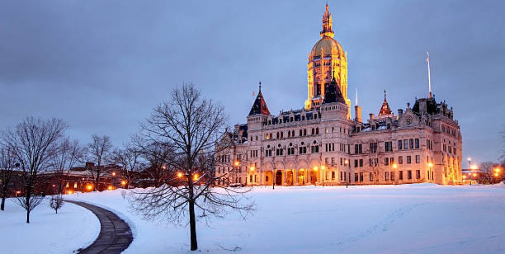
New England poets have been inspired by the regions early spring weather in April which brings on laughter, but at times languished because winters grip doesn’t let go. Snow fields still deep in eastern Canada retaining their wintery chill controls our weather here as the northern branch of the jet stream sends the super cooled winds to blanket us at times in April.
It’s a fact the tears will be filling our eyes from the biting cold wind that will be rattling the bird feeders the next couple of days. We may not see temperatures get above 40 degrees until Thursday. Wind chills will have a common number of teens and twenties making it feel right out of mid February. Dress more for a mid winter football game tomorrow in New York for both the Yankees and Mets baseball game. But all this nonsense of early April cold will be a distant memory bringing on smiles and laughter as more real springtime weather is just around the corner.
Most unpleasant aspect of March lies underfoot
Mud season. The annual climatic visitor to the New England scene, never fails to make an appearance in March, though its commencement, duration, and end vary considerably from year to year, much as spells of Indian summer weather do in the autumn. Solar rays have increased in strength as we approach the equinox next week. Overnight thaws become regular and help melt the ground frost from the surface downward, creating an ever-deepening wet, soggy ground.
There will be a pause in “mud season” for awhile as another stubborn trough gets hung up over the northeast. Arctic fronts will give one last attempt to rush through our borders for the next two weeks, with some cold nights, snow showers, wet snow mixing with a cold rain every four days.
A lull, some brightening, then the bands
Don’t let this lull in activity fool you. The morning snow and occasional brightening of skies will be the forerunner to what’s to come later. Bands of heavy wet snow will roll in from the ocean through late afternoon, tonight and likely through tomorrow mornings rush hour. Eastern Connecticut will feel the brunt of this activity with central and western Connecticut seeing a little less accumulation of snow. A range of 4-10 inches could be on the ground by mid-morning On Friday. Tomorrows landscape will have a “Currier & Ives” look to it.
WeatherEast: Your Weather-Proof Forecast Source for Central Connecticut
Looking for real-time accurate weather information for Central Connecticut?
Want expert feedback about daily weather conditions, meteorological events or historical climate records?
Tired of announcers who just “read” the weather but don’t understand or explain it?
WeatherEast—your interactive, weather-proof, dependable resource for all you need to know to plan your day, family activities and your wardrobe to face the elements.
Want proof why WeatherEast is the ultimate local website for weather junkies or curious novices?
Managed and monitored by Charles Miano (with over 25 years of experience and local perspective as an amateur meteorologist), the site elevates weather information to a new level: “Hyper-local,” meaning you get:
- Reliable forecasts specifically for greater Hartford area
- Regional historical weather data
- New England folklore about storms, moon phases, tides
- Weather tidbits from fishing to farming
- Great local weather photos
Plus, you can participate with interactive questions and even send in your pictures of sunsets, snow depths, nature in bloom, outdoor activities, etc., that will be posted to the site.
WeatherEast relies upon state-of-the-art, RainWise MK III weather station components. A customized, interactive, local atmospheric model software package, developed by nationally-recognized developer, Thomas J. Ehrensperger at WXSIM™, matches the site’s exact geographic coordinates in order to enhance the station accuracy and performance.
The data are compiled, applied and integrated with other weather reporting stations within a 1000-mile radius of WeatherEast headquarters in order to analyze approaching atmospheric dynamics, providing you a “Hyper-local” forecast customized for the Central Connecticut area.
Contact us with your questions, comments and pictures, and visit WeatherEast daily for your “Hyper-local,” weather-proof forecast.

